Adel in the Domesday Book (1086)
Adel appears in the Domesday Book of 1086, entered under the hundred of Skyrack in Yorkshire. The survey assessed Adel at 2.5 carucates of taxable land.
At the time of the survey, Adel supported a recorded population of 4 villagers, 4 smallholders, 1 slave, working 4 ploughs between them.
By 1086 Adel was worth 1 shilling, up from 12d before the Conquest – one of the few settlements in the area to hold its value through the upheaval.
Resources Recorded at Adel (1086)
- Mills: 1 mill (valued at 4d)
Other Settlements in Skyrack
- Allerton [Bywater]
- Alwoodley
- Arthington
- Austhorpe
- Baildon
- Bardsey
- Barwick [in Elmet]
- Bichertun
- Bicherun
- Bingley
- Birkby [Hill]
- Bramhope
- Burden [Head]
- Burley [in Wharfedale]
The Meaning of the Name
The origin of the name Adel is not securely established from its modern form alone; like many settlement names in the North it likely combines an Old English or Old Norse personal name with a landscape term.
Remarkably, the name has changed little since 1086, when the Domesday scribes wrote it as Adel.
Listed Buildings Near Adel
Historic England records 20 listed buildings within about a mile of Adel. Listing protects structures of special architectural or historic interest, graded I (exceptional), II* (particularly important) and II.
Grade I
- Church of St John the Baptist - 0.28 km
Grade II
- Memorial to Zinai Wormald Approximately 30 Metres North of Church of St John the Baptist - 0.24 km
- Parish Hall - 0.24 km
- Ashling and Ashling Cottage - 0.28 km
- Sundial About 10 Metres South of Church of St John the Baptist - 0.29 km
- Memorial to Eliza and William Hill Approximately 30 Metres South of Church of St John - 0.32 km
- Audus Hirst Memorial Approximately 30 Metres South of Church of St John the Baptist - 0.32 km
- Stair and Low Fold Cottage, Adel Mill - 0.32 km
- Swallow Millrace and Mistal Cottage, Adel Mill - 0.32 km
- Walls and Gate Piers to Adel Mill Housing Complex - 0.32 km
- The Tudors and Victoria House, Adel Mill - 0.34 km
- Mounting Block by West Gate of St John’s Churchyard - 0.35 km
- Stairfoot Bridge - 0.35 km
- Cart Shed Immediately North of Adel Mill Farmhouse - 0.36 km
- The Maltings Croft End Cottage and Adel Mill at Adel Mill - 0.36 km
- Adel Mill Farm House - 0.38 km
- Milestone at Ngr 2699 3981 (Farrar Lane Junction) - 0.91 km
- King Lane Farmhouse - 0.94 km
- Adel Reformatory - 1.01 km
- Milestone at Junction With Alwoodley Lane - 1.05 km
Scheduled Monuments Near Adel
Scheduled monuments are nationally important archaeological sites given legal protection. 2 lie within roughly a mile of Adel:
- Adel Roman fort and settlement - 0.61 km
- Rock carved human figure 570m south of King Lane Farm - 0.92 km
Adel Today
Today Adel lies within the administrative area of Leeds, and the settlement recorded a population of 19,430 at recent figures. Nine and a half centuries separate that figure from the small rural community the Domesday survey recorded here in 1086.
Read more about modern Adel on Wikipedia .
Nearby Domesday Settlements
Other places recorded in the 1086 survey within a few miles:
- Cookridge - 2.0 km W
- Eccup - 2.2 km NE
- Burden Head - 3.6 km NE
- Arthington - 4.0 km N
- Alwoodley - 4.1 km E
- Headingley - 4.1 km S
Heritage Around Adel
Photographs of churches, listed buildings and monuments in the vicinity, contributed by volunteers to the Geograph project and reused here under a Creative Commons licence.
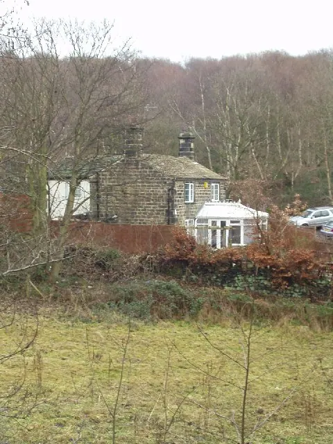
© Rich Tea · Geograph · CC BY-SA 2.0
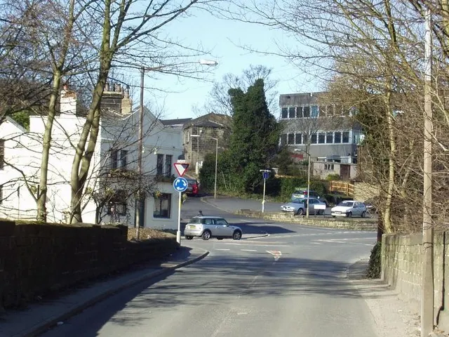
© Rich Tea · Geograph · CC BY-SA 2.0
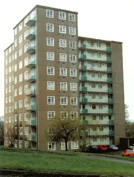
© fozyks · Geograph · CC BY-SA 2.0
Images © their respective photographers, licensed under CC BY-SA 2.0 and reused here with attribution. Photographs depict listed buildings, churches and monuments near this settlement and may show neighbouring villages.
Data derived from the Open Domesday project (opendomesday.org), based on the Domesday Book dataset compiled by Professor J.J.N. Palmer and team. The Domesday Book (1086) is in the public domain.
Found an inaccuracy? [email protected]