Addlethorpe in the Domesday Book (1086)
Addlethorpe is named in the Domesday Book, compiled by Norman commissioners in 1086, entered under the hundred of Burghshire in Yorkshire. The survey assessed Addlethorpe at 9 carucates of taxable land.
At the time of the survey, Addlethorpe supported a recorded population of 12 villagers, 3 smallholders, working 11 ploughs between them.
The survey records Addlethorpe’s value at 4 shillings in 1086. No pre-Conquest figure survives – not unusual in the North, where records were disrupted by the Harrying and by the patchy coverage of the survey.
The survey lists 2 manors at Addlethorpe under different lords. Splitting a single settlement between multiple tenants was common across the North – Saxon estates broken up and handed to William’s followers after 1066.
Resources Recorded at Addlethorpe (1086)
- Woodland: 2 None
Other Settlements in Burghshire
- Aismunderby
- Aldfield
- Allerton [Mauleverer]
- Arkendale
- Askwith
- Azerley
- Barrowby [Grange]
- Beckwith [House]
- Besthaim
- Bestham
- Bewerley
- Bilton
- Birstwith
- Bramley [Grange]
The Meaning of the Name
The name Addlethorpe is of Scandinavian origin. Its final element derives from the Old Norse word þorp, an outlying or secondary farmstead. The first element is most likely a personal name or an early descriptive term, now difficult to recover with certainty. Taken together the name probably meant something close to ‘a outlying farm’.
Names of this type are a fingerprint of Scandinavian settlement: they cluster across the old Danelaw, where Norse-speaking settlers renamed or founded villages from the late 9th century onward.
Remarkably, the name has changed little since 1086, when the Domesday scribes wrote it as Addlethorpe.
Nearby Domesday Settlements
Other places recorded in the 1086 survey within a few miles:
- Barrowby Grange - 1.4 km SW
- Tidover - 1.4 km NW
- Sicklinghall - 2.0 km E
- Kearby Town End - 2.0 km S
- Kirkby Overblow - 2.2 km NW
- Walton Head - 3.2 km W
Heritage Around Addlethorpe
Photographs of churches, listed buildings and monuments in the vicinity, contributed by volunteers to the Geograph project and reused here under a Creative Commons licence.
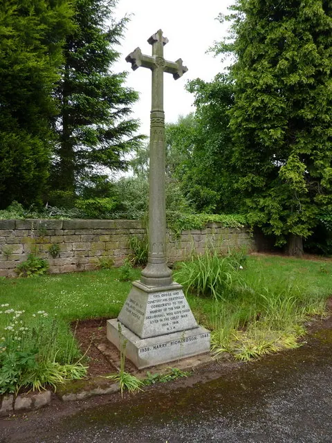
© Alexander P Kapp · Geograph · CC BY-SA 2.0
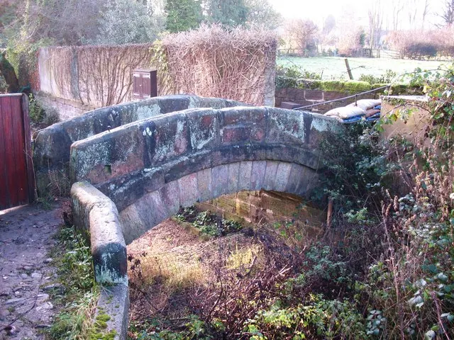
© Gordon Hatton · Geograph · CC BY-SA 2.0
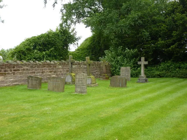
© Alexander P Kapp · Geograph · CC BY-SA 2.0
Images © their respective photographers, licensed under CC BY-SA 2.0 and reused here with attribution. Photographs depict listed buildings, churches and monuments near this settlement and may show neighbouring villages.
Data derived from the Open Domesday project (opendomesday.org), based on the Domesday Book dataset compiled by Professor J.J.N. Palmer and team. The Domesday Book (1086) is in the public domain.
Found an inaccuracy? [email protected]