Addingham in the Domesday Book (1086)
The settlement of Addingham is recorded in William I’s Domesday survey of 1086, entered under the hundred of Craven in Yorkshire.
Other Settlements in Craven
- Airton
- Anley
- Appletreewick
- Arncliffe
- Arnford
- Barnoldswick
- Bashall [Eaves]
- Battersby [Barn]
- Beamsley
- Birkby [Hall]
- Bogeuurde
- Bolton [Abbey]
- Bolton [by Bowland]
- Bordley
The Meaning of the Name
The name Addingham is of Anglo-Saxon origin. Its final element derives from the Old English word hām, a homestead or village. The first element is most likely a personal name or an early descriptive term, now difficult to recover with certainty. Taken together the name probably meant something close to ‘a homestead’.
Remarkably, the name has changed little since 1086, when the Domesday scribes wrote it as Addingham.
Listed Buildings Near Addingham
Historic England records 68 listed buildings within about a mile of Addingham. Listing protects structures of special architectural or historic interest, graded I (exceptional), II* (particularly important) and II.
Grade I
- Church of St Peter - 0.23 km
Grade II
- Hallcroft Hall - 0.08 km
- Ashgate House - 0.16 km
- Footbridge Leading to St Peter’s Church - 0.16 km
- Holme House - 0.17 km
- The Old Rectory - 0.17 km
- Barn 10 Metres to the North of the Old Rectory - 0.19 km
- Milestone 150 Metres South East of Low Holme House - 0.34 km
- 16 and 18, Church Street - 0.4 km
- Smithy Cottage - 0.42 km
- K6 Telephone Kiosk Adjacent to Parkinson Fold - 0.43 km
- Numbers 2 (Fir Cottage), 4 ( Dale Cottage) and 6 - 0.44 km
- Crowtrees Cottage and Robinsons Farm - 0.48 km
- Guide-post Set in Wall by Bus Stop Opposite to Junction With Church Street - 0.51 km
- No. 23, 25, 27 and 29 Low Mill Lane - 0.52 km
- 3, 5, 7 and 9, Old Lane - 0.53 km
- Low House - 0.62 km
- Numbers 153, 155 and 157 (Beech Tree House) - 0.63 km
- Barn Opposite Owl Cottage - 0.69 km
- High House - 0.7 km
- Pump Approximately 5 Metres South of the Manor House - 0.74 km
- The Fleece Public House and Adjoining Barn - 0.75 km
- 149, Main Street - 0.76 km
- Nesfield Manor House - 0.76 km
…and 44 more listed structures in the area.
Scheduled Monuments Near Addingham
Scheduled monuments are nationally important archaeological sites given legal protection. 2 lie within roughly a mile of Addingham:
- Anglo-Saxon cemetery and medieval manorial centre including fishponds and part of the open field system adjacent to St Peter’s Church - 0.19 km
- Churchyard cross at the Church of St Peter - 0.22 km
Addingham Today
Today Addingham lies within the administrative area of Bradford, and the settlement recorded a population of 3,784 at the 2021 census. Nine and a half centuries separate that figure from the small rural community the Domesday survey recorded here in 1086.
Read more about modern Addingham on Wikipedia .
Nearby Domesday Settlements
Other places recorded in the 1086 survey within a few miles:
Heritage Around Addingham
Photographs of churches, listed buildings and monuments in the vicinity, contributed by volunteers to the Geograph project and reused here under a Creative Commons licence.
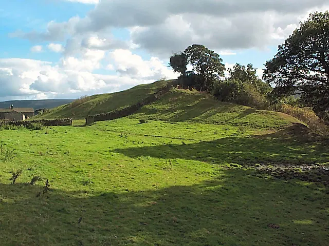
© David Spencer · Geograph · CC BY-SA 2.0
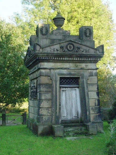
© Malcolm Street · Geograph · CC BY-SA 2.0
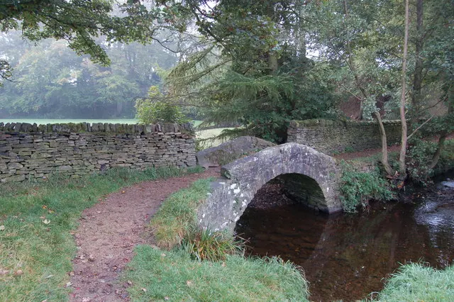
© John Sparshatt · Geograph · CC BY-SA 2.0
Images © their respective photographers, licensed under CC BY-SA 2.0 and reused here with attribution. Photographs depict listed buildings, churches and monuments near this settlement and may show neighbouring villages.
Data derived from the Open Domesday project (opendomesday.org), based on the Domesday Book dataset compiled by Professor J.J.N. Palmer and team. The Domesday Book (1086) is in the public domain.
Found an inaccuracy? [email protected]