Acton in the Domesday Book (1086)
Acton appears in the Domesday Book of 1086, entered under the hundred of Warmundestrou in Cheshire.
Other Settlements in Warmundestrou
- Aston
- Aston [juxta Mondrem]
- Audlem
- Austerson
- Baddiley
- Barthomley
- Basford
- Batherton
- Blakenhall
- Broomhall
- Buerton
- Cholmondeston
- Chorley
- Chorlton
The Meaning of the Name
The name Acton is of Anglo-Saxon origin. Its final element derives from the Old English word tūn, a farmstead or village, while the first element appears to represent oak (OE āc). Taken together the name probably meant something close to ’the oak farmstead’.
Remarkably, the name has changed little since 1086, when the Domesday scribes wrote it as Acton.
Listed Buildings Near Acton
Historic England records 24 listed buildings within about a mile of Acton. Listing protects structures of special architectural or historic interest, graded I (exceptional), II* (particularly important) and II.
Grade I
- Church of St Mary the Virgin - 0.69 km
Grade II*
- Glebe House - 0.63 km
Grade II
- Cuckoo Cottage the Cottage - 0.29 km
- Ravensmoor Windmill - 0.47 km
- Cottage South West of Burford Cross Roads - 0.53 km
- Holly Tree House - 0.54 km
- Almhouses in St Mary’s Churchyard North of the Church - 0.66 km
- Church Farm House - 0.68 km
- St Mary’s Churchyard Wall - 0.71 km
- Burland Cottage - 0.71 km
- Sundial in St Mary’s Churchyard North East of the Church - 0.72 km
- K6 Telephone Kiosk East of Monks Lane and the Parish Church - 0.75 km
- The Old Farmhouse, Village Farm - 0.76 km
- The Star Inn - 0.8 km
- Star Cottages - 0.81 km
- Madam’s Farm House - 0.85 km
- Sparrows Roost - 1.1 km
- Tollemache Cottages - 1.1 km
- Tollemache Cottages - 1.16 km
- Dorfold Hall Lodge and Entrance Gates - 1.17 km
- Llangollen Branch of Shropshire Union Canal Swanley Lock Number 2 (North of Swanley Bridge) - 1.18 km
- Tollemache Cottages - 1.21 km
- Tollemache Cottages - 1.26 km
- Swanley Bridge Number 8 - 1.27 km
Scheduled Monuments Near Acton
Scheduled monuments are nationally important archaeological sites given legal protection. 2 lie within roughly a mile of Acton:
- Monks Lane moated site, Acton - 0.45 km
- Standing cross in St Mary’s churchyard - 0.72 km
Acton Today
Today Acton lies within the administrative area of Burland and Acton, and the settlement recorded a population of 330 at the 2021 census. Nine and a half centuries separate that figure from the small rural community the Domesday survey recorded here in 1086.
Read more about modern Acton on Wikipedia .
Nearby Domesday Settlements
Other places recorded in the 1086 survey within a few miles:
Heritage Around Acton
Photographs of churches, listed buildings and monuments in the vicinity, contributed by volunteers to the Geograph project and reused here under a Creative Commons licence.
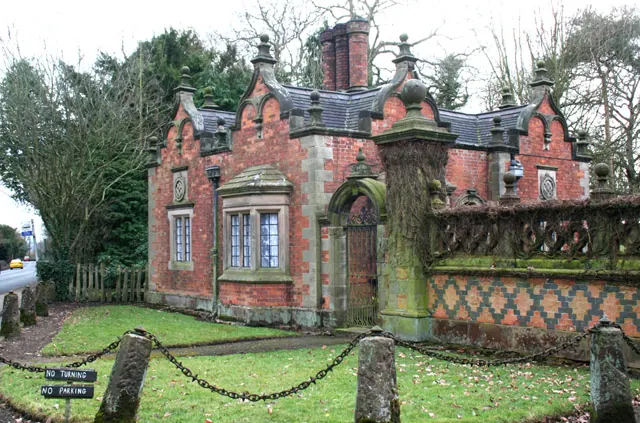
© Espresso Addict · Geograph · CC BY-SA 2.0
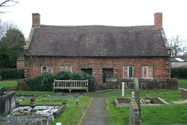
© Espresso Addict · Geograph · CC BY-SA 2.0
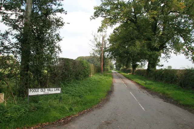
© Peter Styles · Geograph · CC BY-SA 2.0
Images © their respective photographers, licensed under CC BY-SA 2.0 and reused here with attribution. Photographs depict listed buildings, churches and monuments near this settlement and may show neighbouring villages.
Data derived from the Open Domesday project (opendomesday.org), based on the Domesday Book dataset compiled by Professor J.J.N. Palmer and team. The Domesday Book (1086) is in the public domain.
Found an inaccuracy? [email protected]