Acomb in the Domesday Book (1086)
Acomb appears in the Domesday Book of 1086, entered under the hundred of Ainsty in Yorkshire.
Other Settlements in Ainsty
- Acaster [Malbis]
- Acaster [Selby]
- Appleton [Roebuck]
- Askham [Bryan]
- Askham [Richard]
- Bickerton
- Bilbrough
- Bilton
- Bishopthorpe
- Bithen
- Bolton [Percy]
- Catterton
- Colton
- Copmanthorpe
The Meaning of the Name
The origin of the name Acomb is not securely established from its modern form alone; like many settlement names in the North it likely combines an Old English or Old Norse personal name with a landscape term.
Remarkably, the name has changed little since 1086, when the Domesday scribes wrote it as Acomb.
Listed Buildings Near Acomb
Historic England records 33 listed buildings within about a mile of Acomb. Listing protects structures of special architectural or historic interest, graded I (exceptional), II* (particularly important) and II.
Grade II*
Grade II
- Former Junior School Building at Acomb County Primary School and Attached Railing - 0.14 km
- 2, Front Street - 0.19 km
- 6, Front Street - 0.23 km
- Milestone at Ngr Se 5739 5139 - 0.24 km
- 8, Front Street - 0.24 km
- The Lodge - 0.26 km
- Gate Piers to Number 23 (Acomb House) - 0.26 km
- The Hill Hotel - 0.29 km
- 27, Front Street - 0.29 km
- Lychgate to Church of St Stephen - 0.3 km
- 62, York Road - 0.32 km
- Acomb Manor House - 0.33 km
- Church of St Stephen - 0.35 km
- 5, the Green - 0.36 km
- 16, Front Street - 0.36 km
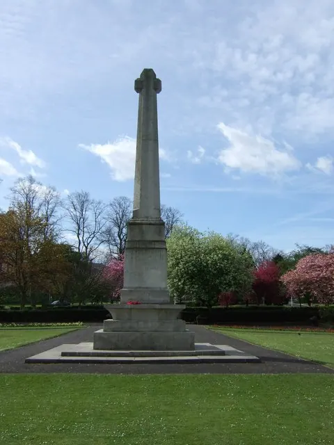
- War Memorial - 0.41 km
- 25, the Green - 0.46 km
- 56 and 58, the Green - 0.58 km
- 103, Front Street - 0.61 km
- Gale Farm - 0.64 km
- Queen Victoria Statue - 0.79 km
- Holgate Windmill - 0.81 km
- Poppleton Road School - 0.88 km
…and 9 more listed structures in the area.
Scheduled Monuments Near Acomb
Scheduled monuments are nationally important archaeological sites given legal protection. 1 lies within roughly a mile of Acomb:
Acomb Today
Today Acomb lies within the administrative area of City of York, and the settlement recorded a population of 22,215 at recent figures. Nine and a half centuries separate that figure from the small rural community the Domesday survey recorded here in 1086.
Read more about modern Acomb on Wikipedia .
Nearby Domesday Settlements
Other places recorded in the 1086 survey within a few miles:
- Knapton - 1.4 km NW
- Clifton - 2.8 km NE
- York - 3.2 km E
- Gate Fulford - 3.6 km SE
- Askham Bryan - 3.6 km SW
- Upper Poppleton - 3.6 km NW
Heritage Around Acomb
Photographs of churches, listed buildings and monuments in the vicinity, contributed by volunteers to the Geograph project and reused here under a Creative Commons licence.
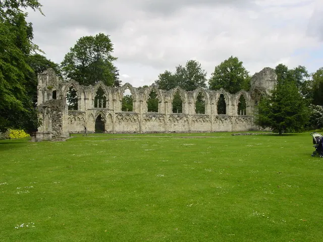
© Lyall Duffus · Geograph · CC BY-SA 2.0

© Stanley Howe · Geograph · CC BY-SA 2.0
© Stanley Howe · Geograph · CC BY-SA 2.0
Images © their respective photographers, licensed under CC BY-SA 2.0 and reused here with attribution. Photographs depict listed buildings, churches and monuments near this settlement and may show neighbouring villages.
Data derived from the Open Domesday project (opendomesday.org), based on the Domesday Book dataset compiled by Professor J.J.N. Palmer and team. The Domesday Book (1086) is in the public domain.
Found an inaccuracy? [email protected]