Abney in the Domesday Book (1086)
Abney appears in the Domesday Book of 1086, entered under the hundred of Blackwell in Derbyshire.
Other Settlements in Blackwell
- Ashford [-in-the-Water]
- Aston
- Bakewell
- Bamford
- Baslow
- Beeley
- Birchills
- Birchover
- Blackwell
- Bradwell
- Bubnell
- Burley
- Burton
- Calver
The Meaning of the Name
The origin of the name Abney is not securely established from its modern form alone; like many settlement names in the North it likely combines an Old English or Old Norse personal name with a landscape term.
Remarkably, the name has changed little since 1086, when the Domesday scribes wrote it as Abney.
Listed Buildings Near Abney
Historic England records 1 listed building within about a mile of Abney. Listing protects structures of special architectural or historic interest, graded I (exceptional), II* (particularly important) and II.
Grade II
- White Gate House - 0.54 km
Scheduled Monuments Near Abney
Scheduled monuments are nationally important archaeological sites given legal protection. 3 lie within roughly a mile of Abney:
- Small stone circle on Smelting Hill, 560m north east of Lane End Farm - 1.15 km
- Cairnfield 870m north east of Lane End Farm - 1.44 km
- Round cairn 780m south west of Offerton House - 1.58 km
Abney Today
Today Abney lies within the administrative area of Abney and Abney Grange.
Read more about modern Abney on Wikipedia .
Nearby Domesday Settlements
Other places recorded in the 1086 survey within a few miles:
- Stoke - 2.0 km E
- Hazelbadge - 2.2 km NW
- Offerton - 2.8 km NE
- Bradwell - 2.8 km NW
- Great and Little Hucklow - 3.2 km W
- Shatton - 3.2 km N
Heritage Around Abney
Photographs of churches, listed buildings and monuments in the vicinity, contributed by volunteers to the Geograph project and reused here under a Creative Commons licence.
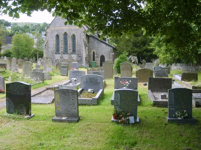
© William Metcalfe · Geograph · CC BY-SA 2.0
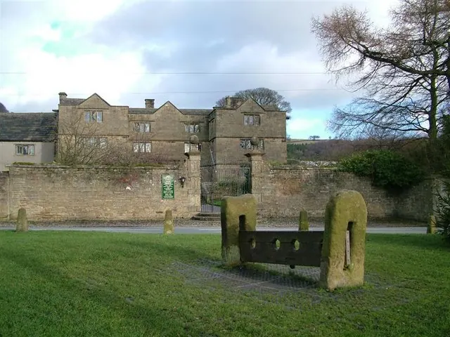
© Stephen G Taylor · Geograph · CC BY-SA 2.0
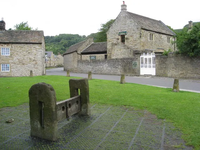
© Alan Heardman · Geograph · CC BY-SA 2.0
Images © their respective photographers, licensed under CC BY-SA 2.0 and reused here with attribution. Photographs depict listed buildings, churches and monuments near this settlement and may show neighbouring villages.
Data derived from the Open Domesday project (opendomesday.org), based on the Domesday Book dataset compiled by Professor J.J.N. Palmer and team. The Domesday Book (1086) is in the public domain.
Found an inaccuracy? [email protected]